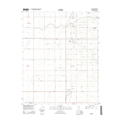
2015 Map of Ducor
USGS Topo · Published 2015About this map
The agricultural landscape of the Central Valley is meticulously detailed in this survey of southeastern Tulare County. The settlement of Terra Bella stands as a primary focal point, surrounded by a rigid grid of rural avenues and roads that define the irrigation-dependent economy of the San Joaquin Valley. Water management infrastructure is prominent, featuring the large-scale Friant-Kern Canal running north-to-south and the natural winding path of Deer Creek, which is supplemented by the Deer Cr Ditch for local distribution. Further south, the community of Ducor anchors the lower portion of the map at the intersection of Orange Belt Dr and Avenue 56. To the north, Elmco and the Deer Creek Colony reflect the established patterns of citrus and nut grove development that have historically characterized this region of California.
Find a feature on this map
68 named features on this map. Tap any name to fly to it.
Don’t see what you’re looking for? This feature index may not catch every label — zoom into the map to look around manually.
Map Details
Editions of this 2015 Ducor Map
This is the sole edition of this map. No revisions or reprints were ever made.
Other maps of this area

1904 · Kaweah
USGS Topo · 1:125,000

1909 · Kaweah
USGS Topo · 1:125,000

1926 · Quincy School
USGS Topo · 1:31,680

1928 · Woodville
USGS Topo · 1:31,680

1929 · Delano
USGS Topo · 1:31,680

1929 · Sausalito School
USGS Topo · 1:31,680

1929 · Richgrove
USGS Topo · 1:31,680

1929 · Porterville
USGS Topo · 1:31,680

1929 · Quincy School
USGS Topo · 1:31,680

1929 · Ducor
USGS Topo · 1:31,680