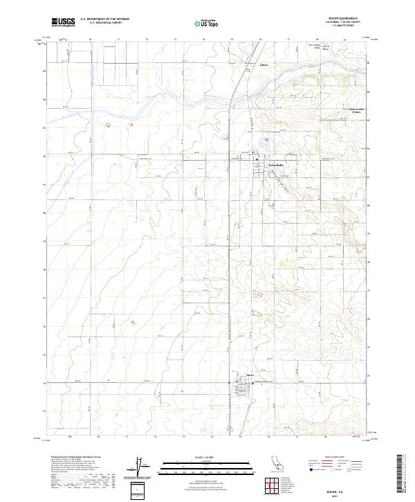
2021 Map of Ducor
USGS Topo · Published 2021About this map
The agricultural landscape of the San Joaquin Valley is defined by its water infrastructure and the grid of Tulare County. The Friant-Kern Canal cuts across the western portion of the map, a vital artery for irrigation in this semi-arid region. In the northern sections, the winding course of Deer Creek and its associated Deer Cr Ditch contrast with the rigid street patterns of the valley floor. Settlement is concentrated in the small communities of Terra Bella and Ducor, which serve as local hubs for the surrounding orchards and fields. The terrain is largely flat, but begins to rise toward the east at Fountain Springs Gulch, signaling the approach to the Sierra Nevada foothills. Smaller historical nodes like Elmco and Deer Creek Colony reflect the long-standing irrigation-based development patterns characteristic of the Central Valley.
Find a feature on this map
73 named features on this map. Tap any name to fly to it.
Don’t see what you’re looking for? This feature index may not catch every label — zoom into the map to look around manually.
Map Details
Editions of this 2021 Ducor Map
This is the sole edition of this map. No revisions or reprints were ever made.
Other maps of this area

1904 · Kaweah
USGS Topo · 1:125,000

1909 · Kaweah
USGS Topo · 1:125,000

1926 · Quincy School
USGS Topo · 1:31,680

1928 · Woodville
USGS Topo · 1:31,680

1929 · Delano
USGS Topo · 1:31,680

1929 · Sausalito School
USGS Topo · 1:31,680

1929 · Richgrove
USGS Topo · 1:31,680

1929 · Porterville
USGS Topo · 1:31,680

1929 · Quincy School
USGS Topo · 1:31,680

1929 · Ducor
USGS Topo · 1:31,680