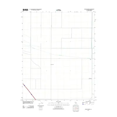
2012 Map of Dudley Ridge
USGS Topo · Published 2012About this map
Dudley Ridge anchors this portion of the San Joaquin Valley, where the landscape is defined by the rigid geometry of large-scale irrigation and agriculture. The reliance on water management is evident in the path of the Blakeley Canal as it cuts across the terrain, alongside the Wilbur Ditch and the Liberty Farms West Side Levee. These structures transformed the arid basin into a productive agricultural zone, supported by a precise grid of roads including Utica Ave, 21st Ave, and 20 1/2 Ave. Small agricultural outposts like Houser Camp provide evidence of the localized labor and logistical centers necessary to manage these expansive land holdings. The map illustrates the specialized infrastructure of the Central Valley just after the first decade of the 21st century.
Find a feature on this map
8 named features on this map. Tap any name to fly to it.
Don’t see what you’re looking for? This feature index may not catch every label — zoom into the map to look around manually.
Map Details
Editions of this 2012 Dudley Ridge Map
This is the sole edition of this map. No revisions or reprints were ever made.
Other maps of this area

1914 · Lost Hills
USGS Topo · 1:125,000

1930 · Avenal Gap
USGS Topo · 1:31,680

1930 · Middle Dome
USGS Topo · 1:31,680

1931 · Harvester
USGS Topo · 1:31,680

1932 · El Rico Ranch
USGS Topo · 1:31,680

1932 · Dudley Ridge
USGS Topo · 1:31,680

1932 · West Camp
USGS Topo · 1:31,680

1932 · Lone Tree Well
USGS Topo · 1:31,680

1933 · Avenal Gap
USGS Topo · 1:31,680

1933 · Kettleman City
USGS Topo · 1:31,680