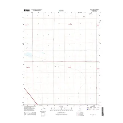
2015 Map of Dudley Ridge
USGS Topo · Published 2015About this map
Dudley Ridge rises as a distinct landform within the vast agricultural expanse of the San Joaquin Valley. This 2015 survey illustrates the highly structured irrigation and transportation network that defines this portion of the Central Valley. The landscape is dominated by large-scale geometric field patterns and a system of artificial waterways, most notably the Blakeley Canal and the Wilbur Ditch, which are essential for water management in this arid region.
Find a feature on this map
14 named features on this map. Tap any name to fly to it.
Don’t see what you’re looking for? This feature index may not catch every label — zoom into the map to look around manually.
Map Details
Editions of this 2015 Dudley Ridge Map
This is the sole edition of this map. No revisions or reprints were ever made.
Other maps of this area

1914 · Lost Hills
USGS Topo · 1:125,000

1930 · Avenal Gap
USGS Topo · 1:31,680

1930 · Middle Dome
USGS Topo · 1:31,680

1931 · Harvester
USGS Topo · 1:31,680

1932 · El Rico Ranch
USGS Topo · 1:31,680

1932 · Dudley Ridge
USGS Topo · 1:31,680

1932 · West Camp
USGS Topo · 1:31,680

1932 · Lone Tree Well
USGS Topo · 1:31,680

1933 · Avenal Gap
USGS Topo · 1:31,680

1933 · Kettleman City
USGS Topo · 1:31,680