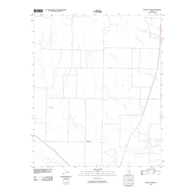
2010 Map of Dudleys Creek
USGS Topo · Published 2010About this map
Plainview serves as the central settlement anchor in this West Texas landscape, situated amidst an extensive network of county roads that define the region's agricultural character. The topography is deeply influenced by a series of intermittent watercourses, most notably Dudleys Creek and Willow Creek, which wind their way across the plains. These drainages, alongside others like Paint Creek and Little Timber Creek, reveal the subtle drainage patterns essential to the local environment and land use.
Find a feature on this map
25 named features on this map. Tap any name to fly to it.
Don’t see what you’re looking for? This feature index may not catch every label — zoom into the map to look around manually.
Map Details
Editions of this 2010 Dudleys Creek Map
This is the sole edition of this map. No revisions or reprints were ever made.
Other maps of this area

1891 · Anson
USGS Topo · 1:125,000

1893 · Anson
USGS Topo · 1:125,000

1925 · Haskell 3-b
USGS Topo · 1:48,000

1954 · Abilene
USGS Topo · 1:250,000

1954 · Wichita Falls
USGS Topo · 1:250,000

1958 · Wichita Falls
USGS Topo · 1:250,000

1958 · Abilene
USGS Topo · 1:250,000

1964 · Sagerton
USGS Topo · 1:24,000

1965 · Tuxedo
USGS Topo · 1:24,000

1965 · Lueders NW
USGS Topo · 1:24,000