
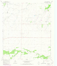
1965 Map of Tuxedo
USGS Topo · Published 1967About this map
Tuxedo sits at the intersection of local history and heavy rail in this mid-1960s survey of North Texas. The settlement, anchored by Tuxedo Ch, is positioned along the Missouri Kansas Texas line, while other major routes like the Fort Worth and Denver and the A T & S F cross the landscape, illustrating the region's historical reliance on rail for transport. Further north, the Capron Cem and the Flat Top Ranch provide evidence of early landholding and burial sites near the Haskell County line.
Find a feature on this map
21 named features on this map. Tap any name to fly to it.
Don’t see what you’re looking for? This feature index may not catch every label — zoom into the map to look around manually.
Map Details
Editions of this 1965 Tuxedo Map
2 editions found
Other maps of this area

1891 · Anson
USGS Topo · 1:125,000

1893 · Roby
USGS Topo · 1:125,000

1893 · Anson
USGS Topo · 1:125,000

1931 · Aspermont
USGS Topo · 1:62,500

1954 · Lubbock
USGS Topo · 1:250,000

1954 · Big Spring
USGS Topo · 1:250,000

1954 · Abilene
USGS Topo · 1:250,000

1954 · Wichita Falls
USGS Topo · 1:250,000

1958 · Big Spring
USGS Topo · 1:250,000

1958 · Wichita Falls
USGS Topo · 1:250,000