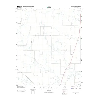
2012 Map of Dudleys Creek
USGS Topo · Published 2012About this map
Dudleys Cr and its various tributaries define the drainage patterns of this rural Haskell County landscape in the early 21st century. The map reveals a highly structured grid of county roads, such as Co RD-435 and Co RD-430, which support the region's agricultural layout. These routes connect isolated farmsteads and ranching tracts across the north-central Texas plains. Significant water features like Paint Cr and Little Timber Cr bisect the terrain, illustrating the natural watershed before these intermittent streams reach more established river systems. Major transit is facilitated by Ranch Road 1225 and Ranch Road 618, which break the strictly rectilinear grid of the smaller local arteries. The surveyor's level of detail on small stream segments like Stink Cr and N Mule Cr provides a fine-grained view of the area's hydrology and topography.
Find a feature on this map
28 named features on this map. Tap any name to fly to it.
Don’t see what you’re looking for? This feature index may not catch every label — zoom into the map to look around manually.
Map Details
Editions of this 2012 Dudleys Creek Map
This is the sole edition of this map. No revisions or reprints were ever made.
Other maps of this area

1891 · Anson
USGS Topo · 1:125,000

1893 · Anson
USGS Topo · 1:125,000

1925 · Haskell 3-b
USGS Topo · 1:48,000

1954 · Abilene
USGS Topo · 1:250,000

1954 · Wichita Falls
USGS Topo · 1:250,000

1958 · Wichita Falls
USGS Topo · 1:250,000

1958 · Abilene
USGS Topo · 1:250,000

1964 · Sagerton
USGS Topo · 1:24,000

1965 · Tuxedo
USGS Topo · 1:24,000

1965 · Lueders NW
USGS Topo · 1:24,000