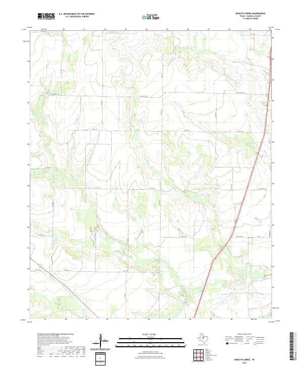
2022 Map of Dudleys Creek
USGS Topo · Published 2022About this map
Dudleys Cr and Willow Cr wind through this rural landscape in Haskell County, where the terrain is defined by a dendritic network of intermittent stream beds and local ranch roads. The map reveals a highly structured land-use pattern, with numerous county roads such as Co RD 430 and Co RD 440 following strict sectional survey lines. This grid-like organization of the landscape is punctuated by the wandering paths of Little Timber Cr and Mule Cr, which converge toward the northeast. In the southern reaches, Paint Cr and the uniquely named Stink Cr cross through larger parcels of land. The transportation network is anchored by Ranch Rd 1225 and Ranch Rd 618, illustrating the modern connectivity of this agricultural and ranching region.
Find a feature on this map
31 named features on this map. Tap any name to fly to it.
Don’t see what you’re looking for? This feature index may not catch every label — zoom into the map to look around manually.
Map Details
Editions of this 2022 Dudleys Creek Map
This is the sole edition of this map. No revisions or reprints were ever made.
Other maps of this area

1891 · Anson
USGS Topo · 1:125,000

1893 · Anson
USGS Topo · 1:125,000

1925 · Haskell 3-b
USGS Topo · 1:48,000

1954 · Abilene
USGS Topo · 1:250,000

1954 · Wichita Falls
USGS Topo · 1:250,000

1958 · Wichita Falls
USGS Topo · 1:250,000

1958 · Abilene
USGS Topo · 1:250,000

1964 · Sagerton
USGS Topo · 1:24,000

1965 · Tuxedo
USGS Topo · 1:24,000

1965 · Lueders NW
USGS Topo · 1:24,000