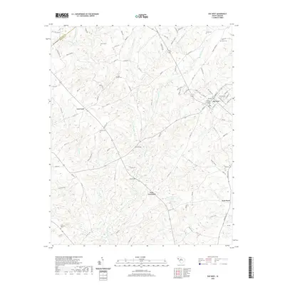
2020 Map of Due West
USGS Topo · Published 2020About this map
Due West serves as the cultural anchor of this upstate South Carolina region, centered around the historic campus of Erskine College and Seminary. The landscape is defined by the intricate drainage of the Little River, with numerous small tributaries like Chickasaw Cr and Hogskin Cr carving through the terrain. This rural topography is dotted with a high density of family and community burial grounds, such as Duncan Cem, Winona Cem, and Ashley Cem, providing a detailed record of local genealogy and early settlement patterns.
Find a feature on this map
100 named features on this map. Tap any name to fly to it.
Don’t see what you’re looking for? This feature index may not catch every label — zoom into the map to look around manually.
Map Details
Editions of this 2020 Due West Map
This is the sole edition of this map. No revisions or reprints were ever made.
Other maps of this area

1892 · Abbeville
USGS Topo · 1:125,000

1893 · Elberton
USGS Topo · 1:125,000

1948 · Abbeville East
USGS Topo · 1:24,000

1948 · Abbeville West
USGS Topo · 1:24,000

1949 · Abbeville
USGS Topo · 1:24,000

1950 · Abbeville East
USGS Topo · 1:24,000

1954 · Greenville
USGS Topo · 1:250,000

1958 · Greenville
USGS Topo · 1:250,000

1964 · Antreville
USGS Topo · 1:24,000

1964 · Saylors Crossroads
USGS Topo · 1:24,000