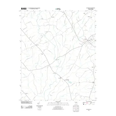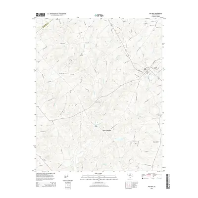
2024 Map of Due West
USGS Topo · Published 2024About this map
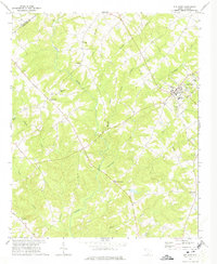
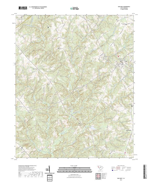
Erskine College and Seminary forms the historic heart of the town of Due West, where the local landscape is deeply intertwined with religious and educational foundations. This Piedmont region of South Carolina is defined by a dense network of family and church burial grounds, including the Due West Church Graveyard, Winona Church Graveyard, and Bethlehem Church Graveyard. The terrain is drained by the Little River and its numerous tributaries such as Chickasaw Creek and Hogskin Creek, which carve through the countryside near established rural junctions like Level Land and Fairs Crossroads. This map captures the modern footprint of these long-standing communities, preserving the locations of smaller family plots like the Duncan Cem and Ashley Cem alongside more recent developments like L R Powell Lake.
Find a feature on this map
103 named features on this map. Tap any name to fly to it.
Don’t see what you’re looking for? This feature index may not catch every label — zoom into the map to look around manually.
Map Details
Editions of this 2024 Due West Map
This is the sole edition of this map. No revisions or reprints were ever made.
Historical Maps of Due West Through Time
6 maps found