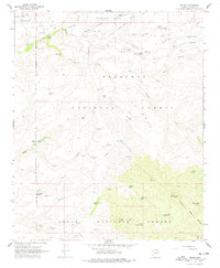
1967 Map of Dugas
USGS Topo · Published 1978About this map
Dugas serves as a central point of reference in this late-1960s study of the high desert and canyon country where the Prescott National Forest meets the Tonto National Forest. The landscape is defined by an extensive network of water management features essential for ranching and forest service operations, including the Sycamore Ranger Station and various livestock infrastructure like Dry Pasture Tank and Holdin Pasture Tank.
Find a feature on this map
48 named features on this map. Tap any name to fly to it.
Don’t see what you’re looking for? This feature index may not catch every label — zoom into the map to look around manually.
Map Details
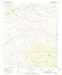
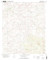
Editions of this 1967 Dugas Map
3 editions found
Other maps of this area

1887 · Verde
USGS Topo · 1:250,000

1887 · Prescott
USGS Topo · 1:250,000

1892 · Verde
USGS Topo · 1:250,000

1892 · Prescott
USGS Topo · 1:250,000

1903 · Bradshaw Mountains
USGS Topo · 1:125,000

1929 · Turret Peak
USGS Topo · 1:125,000

1933 · Turret Peak
USGS Topo · 1:125,000

1947 · Bumblebee
USGS Topo · 1:62,500

1947 · Mayer
USGS Topo · 1:62,500

1948 · Bumblebee
USGS Topo · 1:63,360