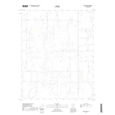
2019 Map of Dugout Creek
USGS Topo · Published 2019About this map
Duke stands as a central point of interest in this section of the Texas Panhandle, situated within a landscape defined by the drainage networks of the Canadian River watershed. The terrain is deeply etched by numerous waterways, including the winding paths of Dugout Cr, Fifth Cr, and Chicken Cr, which together create a series of north-south draws and ridges. These seasonal streams shape the local topography and historical land use patterns in Lipscomb County.
Find a feature on this map
16 named features on this map. Tap any name to fly to it.
Don’t see what you’re looking for? This feature index may not catch every label — zoom into the map to look around manually.
Map Details
Editions of this 2019 Dugout Creek Map
This is the sole edition of this map. No revisions or reprints were ever made.
Other maps of this area

1954 · Perryton
USGS Topo · 1:250,000

1958 · Perryton
USGS Topo · 1:250,000

1972 · Barton Corners
USGS Topo · 1:24,000

1972 · Dugout Creek
USGS Topo · 1:24,000

1972 · Skunk Creek
USGS Topo · 1:24,000

1972 · Follett
USGS Topo · 1:24,000

1972 · Willow Creek
USGS Topo · 1:24,000

1972 · Lipscomb
USGS Topo · 1:24,000

1972 · Darrouzett
USGS Topo · 1:24,000

1972 · Gaylord
USGS Topo · 1:24,000