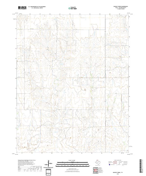
2022 Map of Dugout Creek
USGS Topo · Published 2022About this map
The north-central Texas Panhandle, near the Oklahoma border, is defined here by a series of branching drainages that carve through the high plains of Lipscomb County. The seasonal waters of Dugout Cr and Fifth Cr dictate the local geography, creating a network of draws and breaks across an otherwise rhythmic landscape. Unlike more densely settled regions, this area maintains a strict grid of section-line roads, many bearing family or local identifiers like Uncle Sam Rd and the straight-line transit of Duke across the lower third of the quadrangle. The map captures the specialized rural infrastructure required for large-scale ranching and agriculture, where the placement of cattle guards and private access roads connecting to FM 2172 and various county roads, such as Co Rd 14 and Co Rd 11, reveals the modern management of these expansive northern Texas grasslands.
Find a feature on this map
16 named features on this map. Tap any name to fly to it.
Don’t see what you’re looking for? This feature index may not catch every label — zoom into the map to look around manually.
Map Details
Editions of this 2022 Dugout Creek Map
This is the sole edition of this map. No revisions or reprints were ever made.
Other maps of this area

1954 · Perryton
USGS Topo · 1:250,000

1958 · Perryton
USGS Topo · 1:250,000

1972 · Barton Corners
USGS Topo · 1:24,000

1972 · Dugout Creek
USGS Topo · 1:24,000

1972 · Skunk Creek
USGS Topo · 1:24,000

1972 · Follett
USGS Topo · 1:24,000

1972 · Willow Creek
USGS Topo · 1:24,000

1972 · Lipscomb
USGS Topo · 1:24,000

1972 · Darrouzett
USGS Topo · 1:24,000

1972 · Gaylord
USGS Topo · 1:24,000