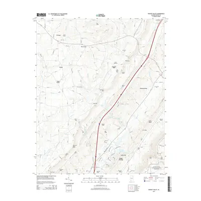
2014 Map of Dugout Valley
USGS Topo · Published 2014About this map
Big Wills Valley serves as a primary corridor for the communities of Fort Payne, Hammondville, and Valley Head in this 2014 survey. The landscape is defined by the sharp contrasts between the broad valley floor and the elevated plateaus of Sand Mountain and Little Ridge. Evidence of early settlement patterns remains visible in the distribution of family and community burial grounds, such as Cordell Cem and Davenport Cem, which are scattered among the ridges.
Find a feature on this map
148 named features on this map. Tap any name to fly to it.
Don’t see what you’re looking for? This feature index may not catch every label — zoom into the map to look around manually.
Map Details
Editions of this 2014 Dugout Valley Map
This is the sole edition of this map. No revisions or reprints were ever made.
Other maps of this area

1886 · Stevenson
USGS Topo · 1:125,000

1892 · Stevenson
USGS Topo · 1:125,000

1893 · Fort Payne
USGS Topo · 1:125,000

1895 · Stevenson
USGS Topo · 1:125,000

1898 · Fort Payne
USGS Topo · 1:125,000

1900 · Fort Payne
USGS Topo · 1:125,000

1936 · Ider
USGS Topo · 1:24,000

1936 · Dugout Valley
USGS Topo · 1:24,000

1936 · Chavies
USGS Topo · 1:24,000

1936 · Sulphur Springs
USGS Topo · 1:24,000