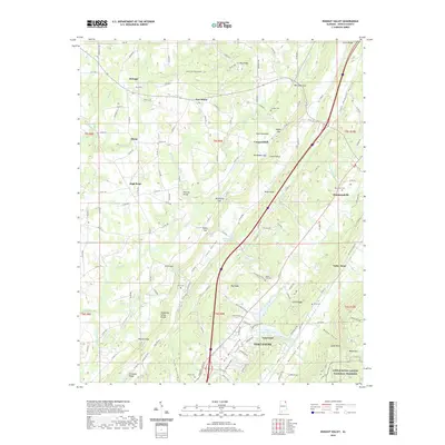
2020 Map of Dugout Valley
USGS Topo · Published 2020About this map
Sand Mountain dominates the western half of this DeKalb County landscape, where higher-elevation settlements like Henagar and New Home are established along a network of county roads. The terrain drops sharply into the parallel corridors of Sand Valley and Big Wills Valley, creating a distinct topographical grain that has historically dictated transportation and town placement. Along the valley floor, the Norfolk Southern rail line serves the communities of Valley Head and Hammondville, following the level ground beside Big Wills Creek.
Find a feature on this map
147 named features on this map. Tap any name to fly to it.
Don’t see what you’re looking for? This feature index may not catch every label — zoom into the map to look around manually.
Map Details
Editions of this 2020 Dugout Valley Map
This is the sole edition of this map. No revisions or reprints were ever made.
Other maps of this area

1886 · Stevenson
USGS Topo · 1:125,000

1892 · Stevenson
USGS Topo · 1:125,000

1893 · Fort Payne
USGS Topo · 1:125,000

1895 · Stevenson
USGS Topo · 1:125,000

1898 · Fort Payne
USGS Topo · 1:125,000

1900 · Fort Payne
USGS Topo · 1:125,000

1936 · Ider
USGS Topo · 1:24,000

1936 · Dugout Valley
USGS Topo · 1:24,000

1936 · Chavies
USGS Topo · 1:24,000

1936 · Sulphur Springs
USGS Topo · 1:24,000