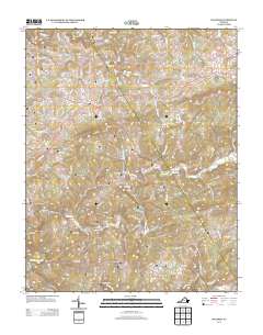
2013 Map of Dugspur
USGS Topo · Published 2013About this map
Dugspur serves as a central hub for this section of Carroll County, where the Blue Ridge landscape is defined by a dense network of watercourses and winding mountain roads. The drainage pattern is particularly intricate, with Mira Fork, Burks Fork, and Piney Fork carving out the terrain around Indian Ridge. Evidence of early 20th-century industry and infrastructure remains visible through road names like Vaughns Mill Rd NW, Duncan Mill Rd, and Bolt Mill Rd SW, pointing to the importance of water-powered milling in the local economy. An unusual landmark for the era, State Prison Camp Number 5, is situated in the northeastern quadrant along Camp 5 Rd NW. The map also documents modern transit routes such as Indian Valley Rd and Va-784, which replaced or improved older traces like the Abandoned Trl found in the northwest.
Find a feature on this map
100 named features on this map. Tap any name to fly to it.
Don’t see what you’re looking for? This feature index may not catch every label — zoom into the map to look around manually.
Map Details
Editions of this 2013 Dugspur Map
This is the sole edition of this map. No revisions or reprints were ever made.
Other maps of this area

1889 · Hillsville
USGS Topo · 1:125,000

1892 · Hillsville
USGS Topo · 1:125,000

1896 · Hillsville
USGS Topo · 1:125,000

1928 · Stuart
USGS Topo · 1:48,000

1931 · Stuart
USGS Topo · 1:62,500

1953 · Winston-Salem
USGS Topo · 1:250,000

1955 · Winston-Salem
USGS Topo · 1:250,000

1956 · Macks Mountain
USGS Topo · 1:62,500

1957 · Mount Airy
USGS Topo · 1:62,500

1957 · Floyd
USGS Topo · 1:62,500