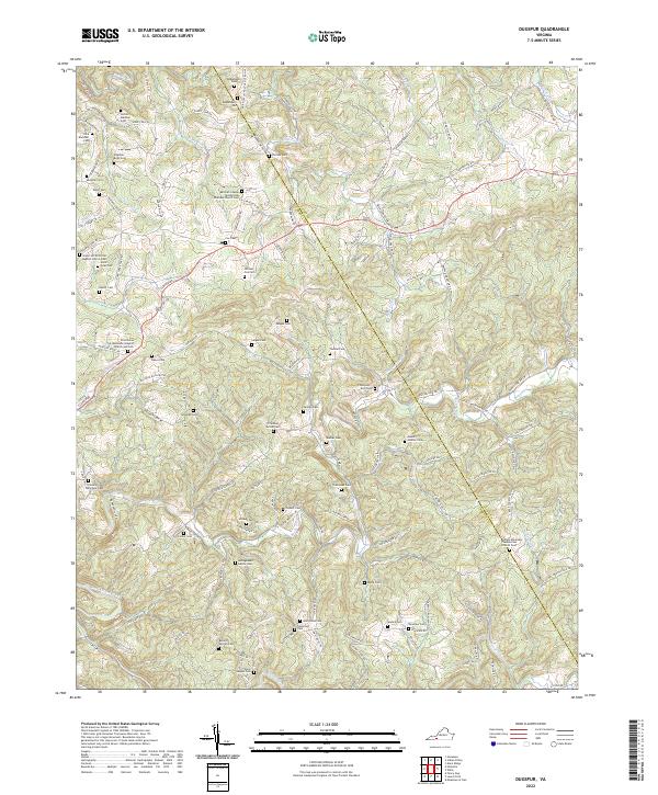
2022 Map of Dugspur
USGS Topo · Published 2022About this map
Buffalo Mountain and the surrounding highlands along the Floyd and Carroll county line define this section of the Blue Ridge foothills. The landscape is characterized by a dense network of family-named burial grounds and rural congregations, reflecting the deep-rooted genealogical history of the area. Significant local landmarks include the Buffalo Mountain Presbyterian Church Cem and the Pine Grove Missionary Baptist Church and Cem. The terrain is deeply dissected by numerous watercourses, most notably Big Reed Island Creek, Burks Fork, and Laurel Fork, which create a complex drainage pattern throughout the quadrangle. Local roads like Floyd Pike and Indian Valley Rd connect the scattered homesteads and landmarks such as the C Walker Nester Cem and Ballard Worrell Cem, providing a detailed look at the rural settlement patterns that have persisted into the modern era.
Find a feature on this map
156 named features on this map. Tap any name to fly to it.
Don’t see what you’re looking for? This feature index may not catch every label — zoom into the map to look around manually.
Map Details
Editions of this 2022 Dugspur Map
This is the sole edition of this map. No revisions or reprints were ever made.
Other maps of this area

1889 · Hillsville
USGS Topo · 1:125,000

1892 · Hillsville
USGS Topo · 1:125,000

1896 · Hillsville
USGS Topo · 1:125,000

1928 · Stuart
USGS Topo · 1:48,000

1931 · Stuart
USGS Topo · 1:62,500

1953 · Winston-Salem
USGS Topo · 1:250,000

1955 · Winston-Salem
USGS Topo · 1:250,000

1956 · Macks Mountain
USGS Topo · 1:62,500

1957 · Mount Airy
USGS Topo · 1:62,500

1957 · Floyd
USGS Topo · 1:62,500