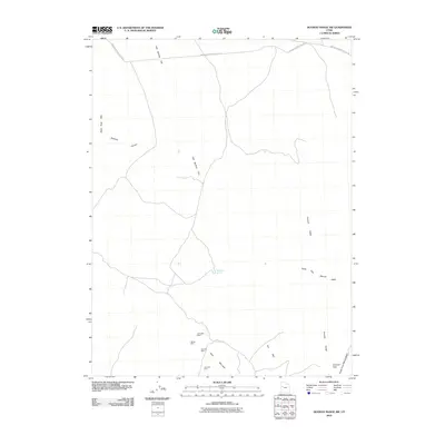
2010 Map of Dugway Range SW
USGS Topo · Published 2010About this map
Spor Mountain and the southern extent of the Thomas Range dominate this desert landscape, revealing a high concentration of mining activity clustered along the mountain slopes. Geologists and local historians can trace the precise locations of operations such as the Oversight Mine, Hilltop Mine, Blowout Mine, and Thursday Mine, which represent the area's mid-to-late 20th-century mineral extraction history. The terrain is defined by dry washes and basins, including the broad Fish Springs Flat and the drainage of the North Fork Pismire Wash. Infrastructure is minimal, centered on the Simpson Springs-Callao Rd and a network of 4WD trails that navigate through topographic landmarks like Goshoot Canyon and Colored Pass. Wildhorse Spring stands out as a critical water source in this arid environment, situated between the ridges of the Thomas Ridge and the Black Rock Hills.
Find a feature on this map
16 named features on this map. Tap any name to fly to it.
Don’t see what you’re looking for? This feature index may not catch every label — zoom into the map to look around manually.
Map Details
Editions of this 2010 Dugway Range SW Map
This is the sole edition of this map. No revisions or reprints were ever made.
Other maps of this area

1908 · Fish Springs
USGS Topo · 1:250,000

1910 · Fish Springs
USGS Topo · 1:250,000

1953 · Dugway Range NE
USGS Topo · 1:24,000

1953 · Dugway Pass
USGS Topo · 1:24,000

1953 · Dugway Range
USGS Topo · 1:62,500

1953 · Topaz Mtn
USGS Topo · 1:62,500

1953 · Dugway Range NW
USGS Topo · 1:24,000

1953 · Delta
USGS Topo · 1:250,000

1958 · Delta
USGS Topo · 1:250,000

1962 · Delta
USGS Topo · 1:250,000