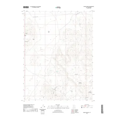
2020 Map of Dugway Range SW
USGS Topo · Published 2020About this map
Wildhorse Spring and Hangrock Spring provide rare water sources in this arid stretch of Juab County, where the desert floor meets the elevation of the Dugway Range. The landscape is defined by the significant rise of Spor Mtn and Thomas Ridge, features that dominate the southern and central terrain. This area has long been a site of resource extraction and transit, evidenced by the presence of the Oversight Mine and a network of secondary roads such as Wild Horse Middle and Rhetts Rd.
Find a feature on this map
16 named features on this map. Tap any name to fly to it.
Don’t see what you’re looking for? This feature index may not catch every label — zoom into the map to look around manually.
Map Details
Editions of this 2020 Dugway Range SW Map
This is the sole edition of this map. No revisions or reprints were ever made.
Other maps of this area

1908 · Fish Springs
USGS Topo · 1:250,000

1910 · Fish Springs
USGS Topo · 1:250,000

1953 · Dugway Range NE
USGS Topo · 1:24,000

1953 · Dugway Pass
USGS Topo · 1:24,000

1953 · Dugway Range
USGS Topo · 1:62,500

1953 · Topaz Mtn
USGS Topo · 1:62,500

1953 · Dugway Range NW
USGS Topo · 1:24,000

1953 · Delta
USGS Topo · 1:250,000

1958 · Delta
USGS Topo · 1:250,000

1962 · Delta
USGS Topo · 1:250,000