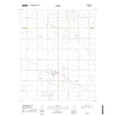
2022 Map of Duke
USGS Topo · Published 2022About this map
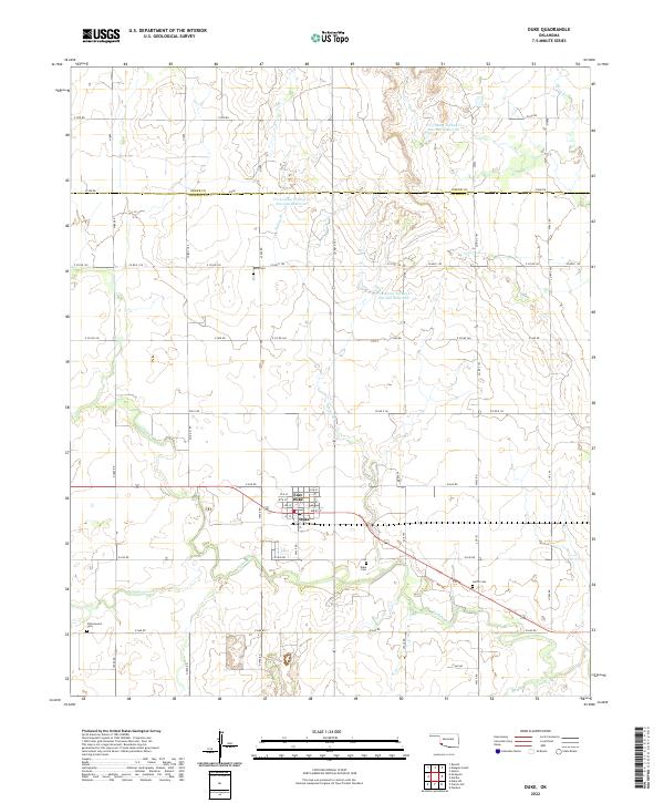
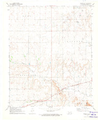
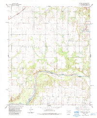
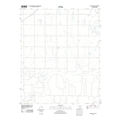
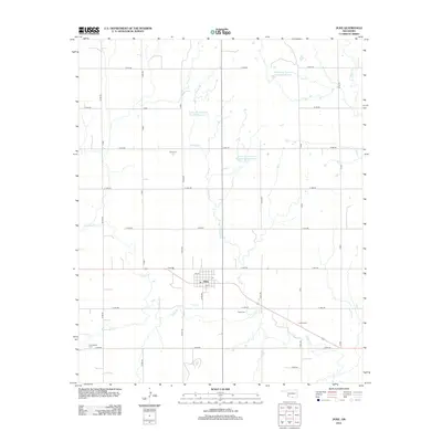
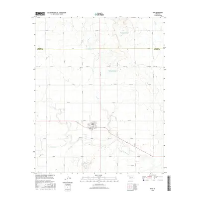
The agrarian landscape of western Oklahoma centers on the adjacent communities of Duke and East Duke, where the grid of the public land survey system intersects with state and local transport routes. This era of land management is characterized by extensive water conservation projects, evidenced by several large reservoirs including Tri-County Turkey Cr Site 28a Reservoir and Tri-County Turkey Cr Site 29a Reservoir. These man-made features support the drainage of Turkey Creek and Spring Branch across the Jackson and Greer County line. For genealogists and local historians, the map preserves the exact locations of several burial grounds that serve the surrounding rural sections, most notably Rock Cemetery, Duke Cemetery, and Cottonwood Cemetery. The transition between the older town centers and the scattered ranch roads highlights the enduring character of this prairie region.
Find a feature on this map
50 named features on this map. Tap any name to fly to it.
Don’t see what you’re looking for? This feature index may not catch every label — zoom into the map to look around manually.
Map Details
Editions of this 2022 Duke Map
This is the sole edition of this map. No revisions or reprints were ever made.
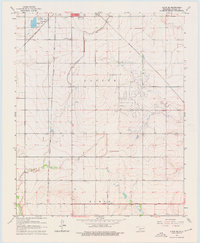
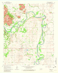
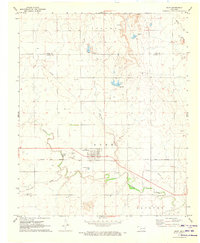
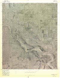
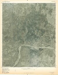
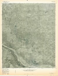
Historical Maps of East Duke Through Time
33 maps found
1963 Altus SE
Jackson County, OK
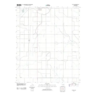
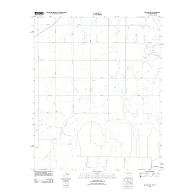
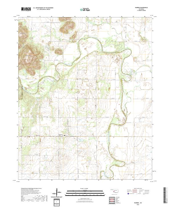
1964 Warren
Jackson County, OK
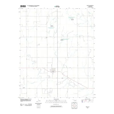
1971 Duke
Jackson County, OK
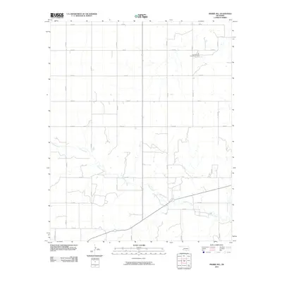
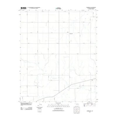
1971 Prairie Hill
Jackson County, OK
1975 Elmore City NE
Jackson County, OK
1975 Quanah NE
Jackson County, OK
1975 Quanah NW
Jackson County, OK
1984 Quanah NE
Jackson County, OK
2010 Altus SE
Jackson County, OK
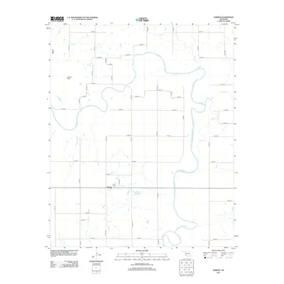
2010 Duke
Jackson County, OK
2010 Prairie Hill
Jackson County, OK
2010 Quanah NE
Jackson County, OK
2010 Warren
Jackson County, OK
2012 Altus SE
Jackson County, OK
2012 Duke
Jackson County, OK
2012 Prairie Hill
Jackson County, OK
2012 Quanah NE
Jackson County, OK
2012 Warren
Jackson County, OK
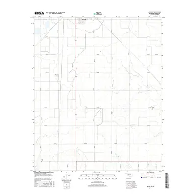
2016 Altus SE
Jackson County, OK
2016 Duke
Jackson County, OK
2016 Prairie Hill
Jackson County, OK
2016 Quanah NE
Jackson County, OK
2016 Warren
Jackson County, OK
2018 Altus SE
Jackson County, OK
2018 Duke
Jackson County, OK
2018 Prairie Hill
Jackson County, OK
2018 Warren
Jackson County, OK
2019 Quanah NE
Jackson County, OK
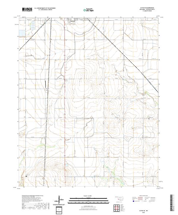
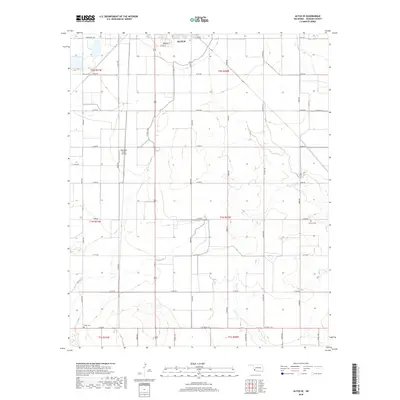
2022 Altus SE
Jackson County, OK
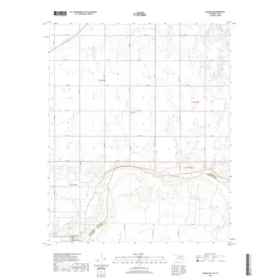
2022 Duke
Jackson County, OK
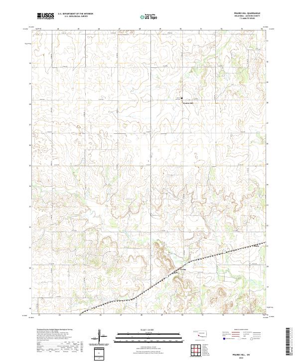
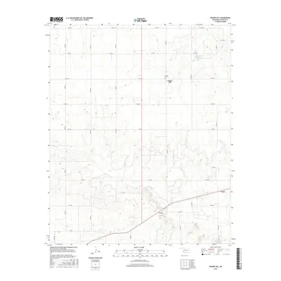
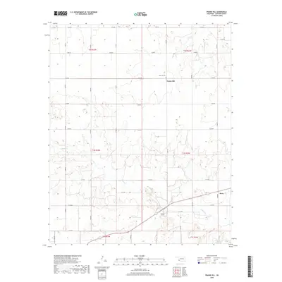
2022 Prairie Hill
Jackson County, OK
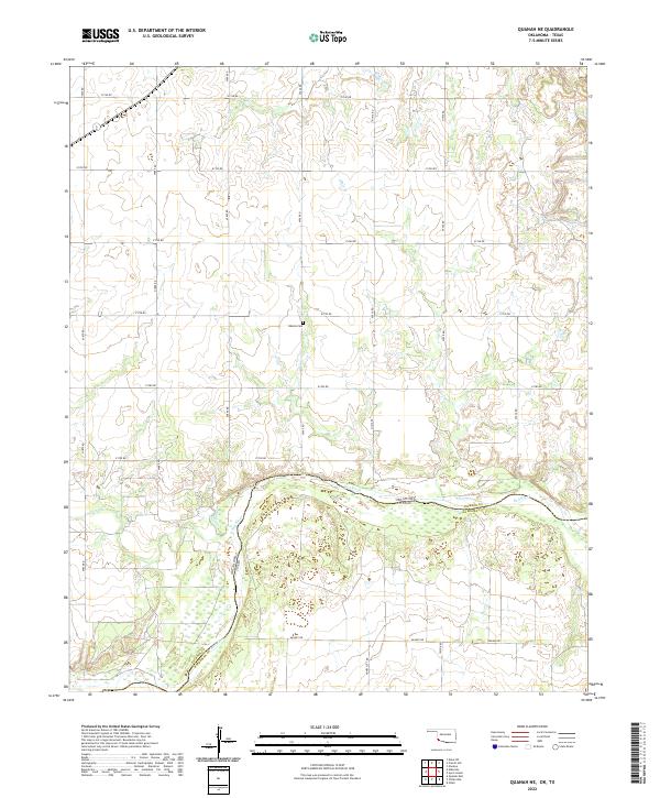
2022 Quanah NE
Jackson County, OK
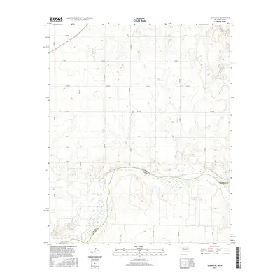
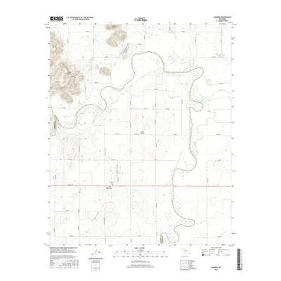
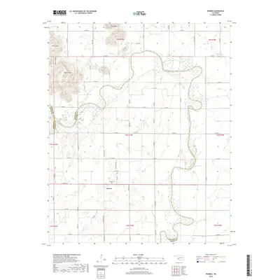
2022 Warren
Jackson County, OK