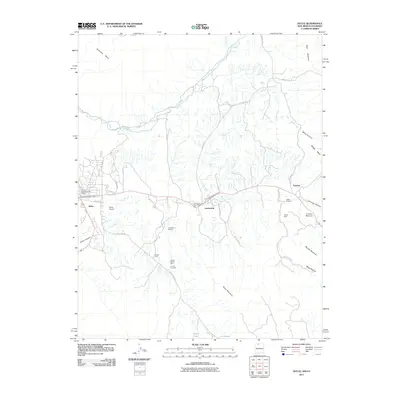
2011 Map of Dulce
USGS Topo · Published 2011About this map
The Jicarilla Apache Historic District centers this high-altitude landscape where the Navajo River and Amargo Creek define the local drainage. In the early 21st century, the primary settlements of Dulce and Lumberton remain tied to their respective Dulce Post Offices and infrastructure like the Dulce Airport. The map reveals a persistent legacy of extraction across the terrain, with several mining and exploration sites such as the Tafoya Mine, Lumberton Prospect, and the Belino-Peisker Mine located between the mesas. Transportation is anchored by local routes like Stone Lake Rd and Quintana Rd, which navigate the complex topography of Archuleta Mesa and Dulce Mountain. These features reflect a community where traditional land use and modern administrative hubs coexist among the steep relief of Webb Canyon and Miller Canyon.
Find a feature on this map
39 named features on this map. Tap any name to fly to it.
Don’t see what you’re looking for? This feature index may not catch every label — zoom into the map to look around manually.
Map Details
Editions of this 2011 Dulce Map
This is the sole edition of this map. No revisions or reprints were ever made.
Other maps of this area
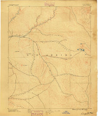
1889 · Largo
USGS Topo · 1:250,000
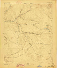
1895 · Largo
USGS Topo · 1:250,000
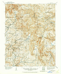
1913 · Summitville
USGS Topo · 1:125,000
1915 · Summitville
USGS Topo · 1:125,000
1924 · Pagosa Springs
USGS Topo · 1:125,000
1927 · Pagosa Springs
USGS Topo · 1:125,000

1945 · Durango
USGS Topo · 1:250,000
1953 · Durango
USGS Topo · 1:250,000
1954 · Durango
USGS Topo · 1:250,000

1954 · Aztec
USGS Topo · 1:250,000