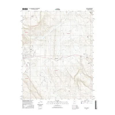
2017 Map of Dulce
USGS Topo · Published 2017About this map
Archuleta Mesa dominates the northern horizon in this high-altitude landscape where the Navajo River flows through the northern reaches of the Jicarilla Apache lands. The settlement of Dulce serves as a primary hub, characterized by a complex network of residential streets such as Navajo St and Jicarilla Blvd, situated just north of the winding Dulce Cr. Further east, the town of Lumberton sits along the Amargo Cr corridor, following the historical path of transport through the valley.
Find a feature on this map
54 named features on this map. Tap any name to fly to it.
Don’t see what you’re looking for? This feature index may not catch every label — zoom into the map to look around manually.
Map Details
Editions of this 2017 Dulce Map
This is the sole edition of this map. No revisions or reprints were ever made.
Other maps of this area

1889 · Largo
USGS Topo · 1:250,000

1895 · Largo
USGS Topo · 1:250,000

1913 · Summitville
USGS Topo · 1:125,000

1915 · Summitville
USGS Topo · 1:125,000

1924 · Pagosa Springs
USGS Topo · 1:125,000

1927 · Pagosa Springs
USGS Topo · 1:125,000

1945 · Durango
USGS Topo · 1:250,000

1953 · Durango
USGS Topo · 1:250,000

1954 · Durango
USGS Topo · 1:250,000

1954 · Aztec
USGS Topo · 1:250,000