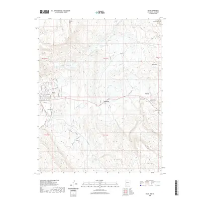
2020 Map of Dulce
USGS Topo · Published 2020About this map
Dulce and the nearby settlement of Lumberton serve as the primary hubs in this high-altitude landscape of Rio Arriba County, where the southern reaches of Archuleta Mesa overlook a complex network of canyons and plateaus. The drainage patterns are defined by the Navajo River and its various tributaries, including Coyote Cr and Amargo Cr. The presence of Dulce Mtn and the prominent Cuesta Monero highlight the diverse topography that has historically shaped the transit and settlement corridors in this region.
Find a feature on this map
55 named features on this map. Tap any name to fly to it.
Don’t see what you’re looking for? This feature index may not catch every label — zoom into the map to look around manually.
Map Details
Editions of this 2020 Dulce Map
This is the sole edition of this map. No revisions or reprints were ever made.
Other maps of this area

1889 · Largo
USGS Topo · 1:250,000

1895 · Largo
USGS Topo · 1:250,000

1913 · Summitville
USGS Topo · 1:125,000

1915 · Summitville
USGS Topo · 1:125,000

1924 · Pagosa Springs
USGS Topo · 1:125,000

1927 · Pagosa Springs
USGS Topo · 1:125,000

1945 · Durango
USGS Topo · 1:250,000

1953 · Durango
USGS Topo · 1:250,000

1954 · Durango
USGS Topo · 1:250,000

1954 · Aztec
USGS Topo · 1:250,000