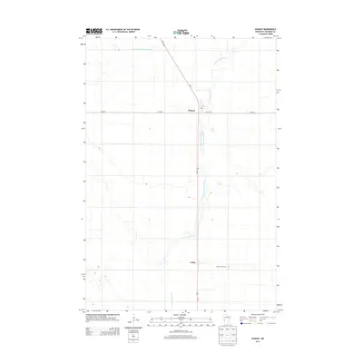
2013 Map of Dumont
USGS Topo · Published 2013About this map
Dumont and Collis serve as the primary nodes of settlement in this Traverse County landscape, oriented around the intersection of Us-75 and Co HWY-6. The town of Dumont is characterized by a concentrated grid including Wyatt St E and a central Po, while the smaller settlement of Collis lies further south along the highway. The surrounding terrain is defined by the meandering course of W Br Twelvemile Creek, which threads through the agricultural prairie alongside man-made water management features like County Ditch Number Fifteen. For those researching regional genealogy, Saint Patrick Cem stands as a significant landmark east of Collis. This survey illustrates the modern persistence of small-town Minnesota hubs within an expansive, water-scored agricultural grid.
Find a feature on this map
10 named features on this map. Tap any name to fly to it.
Don’t see what you’re looking for? This feature index may not catch every label — zoom into the map to look around manually.
Map Details
Editions of this 2013 Dumont Map
This is the sole edition of this map. No revisions or reprints were ever made.
Other maps of this area

1915 · White Rock
USGS Topo · 1:62,500

1916 · Beardsley
USGS Topo · 1:62,500

1918 · White Rock
USGS Topo · 1:62,500

1918 · Beardsley
USGS Topo · 1:62,500

1950 · Graceville
USGS Topo · 1:62,500

1951 · Wheaton
USGS Topo · 1:62,500

1953 · Milbank
USGS Topo · 1:250,000

1958 · Milbank
USGS Topo · 1:250,000
1972 · Wheaton West
USGS Topo · 1:24,000
1974 · Graceville NE
USGS Topo · 1:24,000