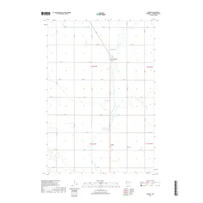
2019 Map of Dumont
USGS Topo · Published 2019About this map
Dumont and the smaller community of Collis serve as the primary focal points in this survey of Traverse County, Minnesota. The landscape is defined by the agricultural grid of the Great Plains, where the winding path of West Branch Twelvemile Creek (also labeled as W Br Twelvemile Cr) provides the only significant break in the geometric township lines. In the southeast, Saint Patrick Cem stands as a notable landmark for those tracing local family roots. The northern portion of the quadrangle shows the engineering of the prairie through County Ditch Number Fifteen, illustrating the long-standing efforts to manage water for farming. This map reflects the enduring rural character of the region, where County Highways 4 and 6 remain the vital arteries connecting these quiet agricultural settlements.
Find a feature on this map
24 named features on this map. Tap any name to fly to it.
Don’t see what you’re looking for? This feature index may not catch every label — zoom into the map to look around manually.
Map Details
Editions of this 2019 Dumont Map
This is the sole edition of this map. No revisions or reprints were ever made.
Other maps of this area

1915 · White Rock
USGS Topo · 1:62,500

1916 · Beardsley
USGS Topo · 1:62,500

1918 · White Rock
USGS Topo · 1:62,500

1918 · Beardsley
USGS Topo · 1:62,500

1950 · Graceville
USGS Topo · 1:62,500

1951 · Wheaton
USGS Topo · 1:62,500

1953 · Milbank
USGS Topo · 1:250,000

1958 · Milbank
USGS Topo · 1:250,000
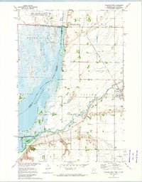
1972 · Wheaton West
USGS Topo · 1:24,000
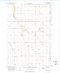
1974 · Graceville NE
USGS Topo · 1:24,000