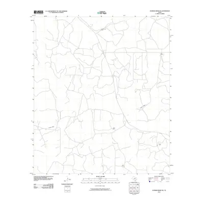
2010 Map of Dunbar Draw NE
USGS Topo · Published 2010About this map
Dunbar Draw carves a path through this section of Sutton County, defining the drainage patterns of an arid landscape dominated by large-scale ranching operations. The area is characterized by a sparse network of roads connecting significant family holdings, including Vanderstucken Ranch to the north and Hunt Ranch in the eastern reaches. The distribution of these named ranch sites, such as Wyatt Ranch, Friess Ranch, and Espy Ranch, reflects the enduring legacy of Texas land tracts where isolated headquarters served as the primary centers of human activity. This 2010 digital survey captures the topographic contours and local road systems as they existed in the early 21st century, providing a clear record of the spatial relationships between these established homesteads and the seasonal waterways that sustain the region.
Find a feature on this map
7 named features on this map. Tap any name to fly to it.
Don’t see what you’re looking for? This feature index may not catch every label — zoom into the map to look around manually.
Map Details
Editions of this 2010 Dunbar Draw NE Map
This is the sole edition of this map. No revisions or reprints were ever made.
Other maps of this area

1893 · Rock Springs
USGS Topo · 1:125,000

1893 · Fort McKavett
USGS Topo · 1:125,000

1954 · Sonora
USGS Topo · 1:250,000

1958 · Sonora
USGS Topo · 1:250,000

1963 · Steen Lake
USGS Topo · 1:24,000

1963 · Harrison Ranch
USGS Topo · 1:24,000

1963 · Buffalo Well SW
USGS Topo · 1:24,000

1964 · Sonora
USGS Topo · 1:24,000

1964 · Sonora SE
USGS Topo · 1:24,000

1967 · Dunbar Draw SW
USGS Topo · 1:24,000