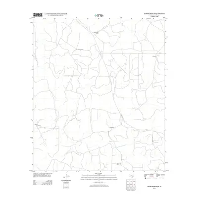
2012 Map of Dunbar Draw NE
USGS Topo · Published 2012About this map
Large family-held ranching estates define the landscape of Sutton County in this early 21st-century survey. The terrain is structured by a network of private thoroughfares and rural connectors like Bond Rd and San Angelo St, which link several prominent homesteads across the Edwards Plateau region. Evidence of the area's agricultural heritage is found at the Vanderstucken Ranch in the north and Hunt Ranch to the east. These named properties, including Wyatt Ranch and Friess Ranch, represent the enduring pattern of land ownership and livestock management in this part of Texas. The absence of traditional townships highlights the pastoral nature of the quadrangle, where life centers on these historic ranching headquarters and the seasonal watercourses that cross the dry draws.
Find a feature on this map
13 named features on this map. Tap any name to fly to it.
Don’t see what you’re looking for? This feature index may not catch every label — zoom into the map to look around manually.
Map Details
Editions of this 2012 Dunbar Draw NE Map
This is the sole edition of this map. No revisions or reprints were ever made.
Other maps of this area

1893 · Rock Springs
USGS Topo · 1:125,000

1893 · Fort McKavett
USGS Topo · 1:125,000

1954 · Sonora
USGS Topo · 1:250,000

1958 · Sonora
USGS Topo · 1:250,000

1963 · Steen Lake
USGS Topo · 1:24,000

1963 · Harrison Ranch
USGS Topo · 1:24,000

1963 · Buffalo Well SW
USGS Topo · 1:24,000

1964 · Sonora
USGS Topo · 1:24,000

1964 · Sonora SE
USGS Topo · 1:24,000

1967 · Dunbar Draw SW
USGS Topo · 1:24,000