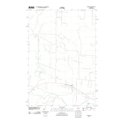
2010 Map of Dunbar
USGS Topo · Published 2010About this map
The town of Dunbar serves as the focal point for this 2010 survey of Marinette County, situated along a primary transportation corridor near the Dunbar Airport. This region is defined by a dense network of forest roads and watercourses, illustrating a landscape managed for timber and recreation. Water is the most prominent feature of the terrain, with the North Branch Pike River and the South Branch Pemebonwon River draining the southeastern reaches. To the northwest, the South Branch Little Popple River and several tributary systems like Spur Creek and K C Creek weave through the forest. Several small water bodies, including Sackerson Lake and Dvorak Lake, are connected by primitive trails and forest routes like CC Camp Rd, indicating the area's continued reliance on a specialized road network for access to the north woods' interior.
Find a feature on this map
32 named features on this map. Tap any name to fly to it.
Don’t see what you’re looking for? This feature index may not catch every label — zoom into the map to look around manually.
Map Details
Editions of this 2010 Dunbar Map
This is the sole edition of this map. No revisions or reprints were ever made.
Other maps of this area

1939 · Dunbar
USGS Topo · 1:48,000

1939 · Goodman
USGS Topo · 1:48,000

1939 · Iron Mountain
USGS Topo · 1:48,000

1941 · Florence
USGS Topo · 1:48,000

1941 · Dunbar
USGS Topo · 1:48,000

1941 · Iron Mountain
USGS Topo · 1:48,000

1946 · Goodman
USGS Topo · 1:48,000

1947 · Dunbar
USGS Topo · 1:48,000

1947 · Iron Mountain
USGS Topo · 1:48,000

1954 · Iron Mountain
USGS Topo · 1:250,000