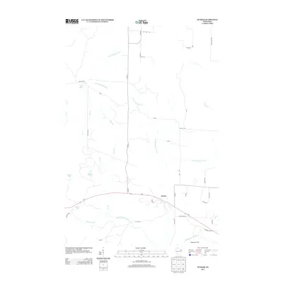
2013 Map of Dunbar
USGS Topo · Published 2013About this map
Dunbar serves as the primary hub in this northern Wisconsin landscape, situated along the corridor of Us-8. The region is defined by a dense network of watercourses and forest access routes, reflecting its history as a timber and recreation area. To the south, the North Branch Pike River and N Br Pike River converge, while the S Br Pemebonwon River and S Br Little Popple River drain the northern and central reaches. Local landmarks like Blueberry Point and several small basins, including Sackerson Lake and Dvorak Lake, indicate a glaciated terrain where land use is dictated by the surrounding wetlands. Numerous forest roads, such as fr518 and fr522, branch off from Co HWY-U, providing access to the interior for those tracing land ownership and early rural development patterns.
Find a feature on this map
42 named features on this map. Tap any name to fly to it.
Don’t see what you’re looking for? This feature index may not catch every label — zoom into the map to look around manually.
Map Details
Editions of this 2013 Dunbar Map
This is the sole edition of this map. No revisions or reprints were ever made.
Other maps of this area

1939 · Dunbar
USGS Topo · 1:48,000

1939 · Goodman
USGS Topo · 1:48,000

1939 · Iron Mountain
USGS Topo · 1:48,000

1941 · Florence
USGS Topo · 1:48,000

1941 · Dunbar
USGS Topo · 1:48,000

1941 · Iron Mountain
USGS Topo · 1:48,000

1946 · Goodman
USGS Topo · 1:48,000

1947 · Dunbar
USGS Topo · 1:48,000

1947 · Iron Mountain
USGS Topo · 1:48,000

1954 · Iron Mountain
USGS Topo · 1:250,000