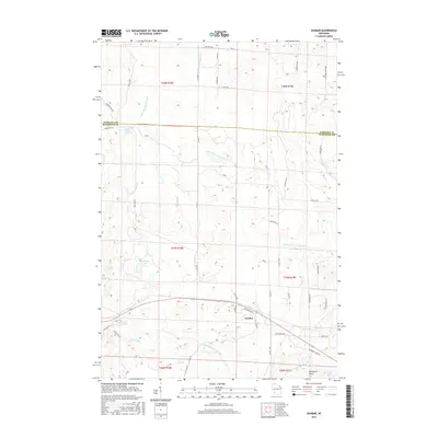
2015 Map of Dunbar
USGS Topo · Published 2015About this map
Dunbar serves as the primary hub in this northern Wisconsin landscape, situated along the intersection of local routes like Airport Rd and Gasset Rd. The map illustrates a complex hydrographic network, with the North Branch Pike River and S Br Pemebonwon River carving through the terrain alongside numerous glacial features. Small, distinct bodies of water like Sackerson Lake, Pothole Lake, and Dvorak Lake dot the southern half of the sheet, while Spur Lake lies to the northwest. To the east, Blueberry Point sits near the winding course of the N Br Pike River. This area, straddling the border of Florence Co and Marinette Co, is defined by its extensive network of forest roads and namesake pikes, such as Osterberg Pkwy and W Fischer Lake Pkwy, which reflect the region's managed woodland character and outdoor orientation.
Find a feature on this map
58 named features on this map. Tap any name to fly to it.
Don’t see what you’re looking for? This feature index may not catch every label — zoom into the map to look around manually.
Map Details
Editions of this 2015 Dunbar Map
This is the sole edition of this map. No revisions or reprints were ever made.
Other maps of this area

1939 · Dunbar
USGS Topo · 1:48,000

1939 · Goodman
USGS Topo · 1:48,000

1939 · Iron Mountain
USGS Topo · 1:48,000

1941 · Florence
USGS Topo · 1:48,000

1941 · Dunbar
USGS Topo · 1:48,000

1941 · Iron Mountain
USGS Topo · 1:48,000

1946 · Goodman
USGS Topo · 1:48,000

1947 · Dunbar
USGS Topo · 1:48,000

1947 · Iron Mountain
USGS Topo · 1:48,000

1954 · Iron Mountain
USGS Topo · 1:250,000