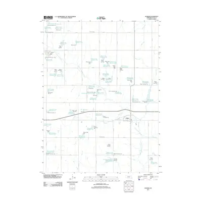
2011 Map of Dunbar
USGS Topo · Published 2011About this map
The agrarian landscape of Otoe County, Nebraska, is defined here by an extensive system of water management and rural settlements. Dunbar and Otoe serve as the primary hubs for the surrounding farming community, each anchored by its respective local office, such as the Dunbar Post Office and the Otoe Post Office. The terrain is systematically divided by a grid of county roads, including Co RD D and K RD, which facilitate movement between the numerous family-named landmarks and water control structures.
Find a feature on this map
96 named features on this map. Tap any name to fly to it.
Don’t see what you’re looking for? This feature index may not catch every label — zoom into the map to look around manually.
Map Details
Editions of this 2011 Dunbar Map
This is the sole edition of this map. No revisions or reprints were ever made.
Other maps of this area

1903 · Weeping Water
USGS Topo · 1:125,000

1907 · Nebraska City
USGS Topo · 1:62,500

1929 · Weeping Water
USGS Topo · 1:125,000

1935 · Nehawka
USGS Topo · 1:48,000

1940 · Nehawka
USGS Topo · 1:62,500

1955 · Nebraska City
USGS Topo · 1:250,000

1955 · Lincoln
USGS Topo · 1:250,000

1957 · Nebraska City
USGS Topo · 1:250,000

1957 · Lincoln
USGS Topo · 1:250,000

1958 · Lincoln
USGS Topo · 1:250,000