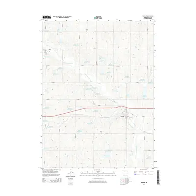
2014 Map of Dunbar
USGS Topo · Published 2014About this map
Dunbar and the village of Otoe anchor this part of Otoe County, Nebraska, showing a landscape defined by advanced soil conservation and water management. The area is dense with numbered water impoundments, such as Wilson Cr Reservoir 12-3 and Brownell Cr Reservoir 1-1, which are part of a coordinated watershed system tributary to the Little Nemaha River. These reservoirs reflect decades of regional planning to control erosion and manage runoff in the rolling agricultural uplands.
Find a feature on this map
72 named features on this map. Tap any name to fly to it.
Don’t see what you’re looking for? This feature index may not catch every label — zoom into the map to look around manually.
Map Details
Editions of this 2014 Dunbar Map
This is the sole edition of this map. No revisions or reprints were ever made.
Other maps of this area

1903 · Weeping Water
USGS Topo · 1:125,000

1907 · Nebraska City
USGS Topo · 1:62,500

1929 · Weeping Water
USGS Topo · 1:125,000

1935 · Nehawka
USGS Topo · 1:48,000

1940 · Nehawka
USGS Topo · 1:62,500

1955 · Nebraska City
USGS Topo · 1:250,000

1955 · Lincoln
USGS Topo · 1:250,000

1957 · Nebraska City
USGS Topo · 1:250,000

1957 · Lincoln
USGS Topo · 1:250,000

1958 · Lincoln
USGS Topo · 1:250,000