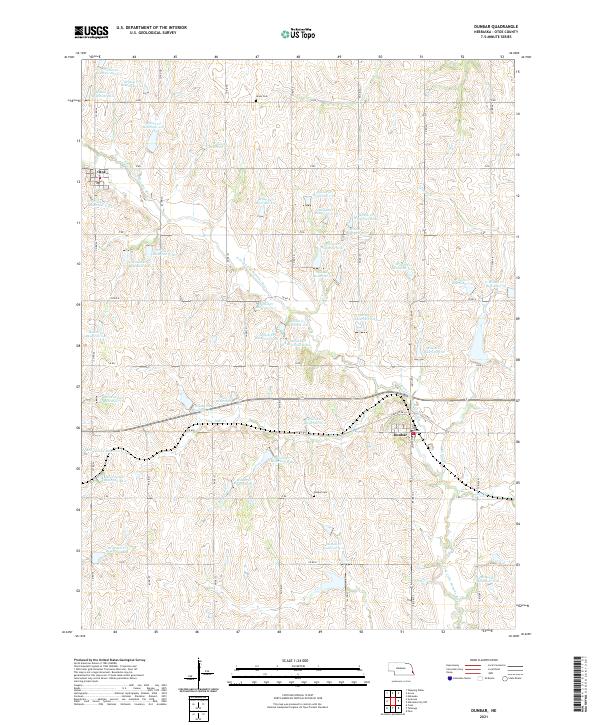
2021 Map of Dunbar
USGS Topo · Published 2021About this map
The village of Dunbar and the smaller community of Otoe anchor this portion of the Nebraska landscape, situated within a vast network of soil conservation efforts. The terrain is characterized by a high density of small water management features, including Burr Reservoir and dozens of numbered basins such as Wilson Cr Reservoir 1-N and Brownell Cr Reservoir 1-1. These reservoirs, scattered across the sections of t9n r12e and t8n r12e, illustrate the modern agricultural engineering required to manage the drainage of the Missouri River's tributaries. Local history is anchored by the Union Cem to the north and the Dunbar Cem south of the village, providing vital reference points for genealogical research. The road system, defined by designations like Co RD 46 and Co RD I, maintains the traditional section-line grid typical of the Great Plains.
Find a feature on this map
68 named features on this map. Tap any name to fly to it.
Don’t see what you’re looking for? This feature index may not catch every label — zoom into the map to look around manually.
Map Details
Editions of this 2021 Dunbar Map
This is the sole edition of this map. No revisions or reprints were ever made.
Other maps of this area

1903 · Weeping Water
USGS Topo · 1:125,000

1907 · Nebraska City
USGS Topo · 1:62,500

1929 · Weeping Water
USGS Topo · 1:125,000

1935 · Nehawka
USGS Topo · 1:48,000

1940 · Nehawka
USGS Topo · 1:62,500

1955 · Nebraska City
USGS Topo · 1:250,000

1955 · Lincoln
USGS Topo · 1:250,000

1957 · Nebraska City
USGS Topo · 1:250,000

1957 · Lincoln
USGS Topo · 1:250,000

1958 · Lincoln
USGS Topo · 1:250,000