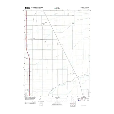
2010 Map of Dunbridge
USGS Topo · Published 2010About this map
Scotch Ridge and the surrounding agricultural landscape of Wood County define this region, where the grid of rural roads meets the winding course of the North Branch Portage River. The map reveals a high density of burial sites important for genealogical research, including the Belleville Ridge Cemetery, New Belleville Ridge Cemetery, and Brandeberry Cemetery. Settlement clusters like Dunbridge and Dowling are established along early transport corridors, while more specialized land use is seen at the Devils Hole Prairie and the private Ranchport Airport. The drainage patterns of the Toussaint Creek and Packer Creek suggest the engineering required to maintain this productive farmland, once part of the Great Black Swamp region.
Find a feature on this map
51 named features on this map. Tap any name to fly to it.
Don’t see what you’re looking for? This feature index may not catch every label — zoom into the map to look around manually.
Map Details
Editions of this 2010 Dunbridge Map
This is the sole edition of this map. No revisions or reprints were ever made.
Other maps of this area

1900 · Maumee Bay
USGS Topo · 1:62,500

1900 · Toledo
USGS Topo · 1:62,500

1901 · Bowling Green
USGS Topo · 1:62,500

1901 · Elmore
USGS Topo · 1:62,500

1903 · Bowling Green
USGS Topo · 1:62,500

1903 · Elmore
USGS Topo · 1:62,500

1934 · Rossford
USGS Topo · 1:24,000

1935 · Walbridge
USGS Topo · 1:24,000

1935 · Maumee
USGS Topo · 1:24,000

1938 · Walbridge
USGS Topo · 1:31,680