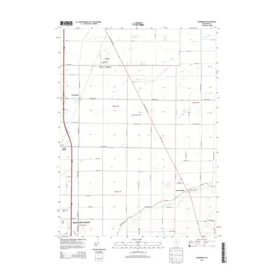
2013 Map of Dunbridge
USGS Topo · Published 2013About this map
Bowling Green anchors the southwestern portion of this Wood County landscape, where the city's northern edges meet a grid of rural agricultural lands. The terrain is notably defined by the historic expanse of Devils Hole Prairie, situated between the small settlements of Dowling and Scotch Ridge. Several small watercourses, including Packer Creek and Toussaint Creek, drain the flatlands toward the northeast, while the North Branch Portage River cuts across the southern sections near the Wood County Airport.
Find a feature on this map
63 named features on this map. Tap any name to fly to it.
Don’t see what you’re looking for? This feature index may not catch every label — zoom into the map to look around manually.
Map Details
Editions of this 2013 Dunbridge Map
This is the sole edition of this map. No revisions or reprints were ever made.
Other maps of this area

1900 · Maumee Bay
USGS Topo · 1:62,500

1900 · Toledo
USGS Topo · 1:62,500

1901 · Bowling Green
USGS Topo · 1:62,500

1901 · Elmore
USGS Topo · 1:62,500

1903 · Bowling Green
USGS Topo · 1:62,500

1903 · Elmore
USGS Topo · 1:62,500

1934 · Rossford
USGS Topo · 1:24,000

1935 · Walbridge
USGS Topo · 1:24,000

1935 · Maumee
USGS Topo · 1:24,000

1938 · Walbridge
USGS Topo · 1:31,680