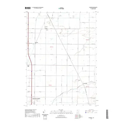
2019 Map of Dunbridge
USGS Topo · Published 2019About this map
Bowling Green anchors the southwestern corner of this survey, where the urban grid gives way to the expansive agricultural landscape of Wood County. The terrain is defined by a series of roughly parallel waterways, including Toussaint Cr and Packer Cr, which drain the flat till plains. A distinct pattern of small, historic rural nodes is preserved here, often centered on cemeteries or crossroads. The northern section contains the New Belleville Ridge Cem and Belleville Ridge Cem near Dowling, while the southeastern corner is marked by Scotch Ridge and the Brandeberry Cem. The Wood County Airport sits as a modern landmark amidst the section-line roads, such as McCutcheonville Rd and Middleton Pike, which continue to dictate the movement and settlement patterns of this Northwest Ohio region.
Find a feature on this map
66 named features on this map. Tap any name to fly to it.
Don’t see what you’re looking for? This feature index may not catch every label — zoom into the map to look around manually.
Map Details
Editions of this 2019 Dunbridge Map
This is the sole edition of this map. No revisions or reprints were ever made.
Other maps of this area

1900 · Maumee Bay
USGS Topo · 1:62,500

1900 · Toledo
USGS Topo · 1:62,500

1901 · Bowling Green
USGS Topo · 1:62,500

1901 · Elmore
USGS Topo · 1:62,500

1903 · Bowling Green
USGS Topo · 1:62,500

1903 · Elmore
USGS Topo · 1:62,500

1934 · Rossford
USGS Topo · 1:24,000

1935 · Walbridge
USGS Topo · 1:24,000

1935 · Maumee
USGS Topo · 1:24,000

1938 · Walbridge
USGS Topo · 1:31,680