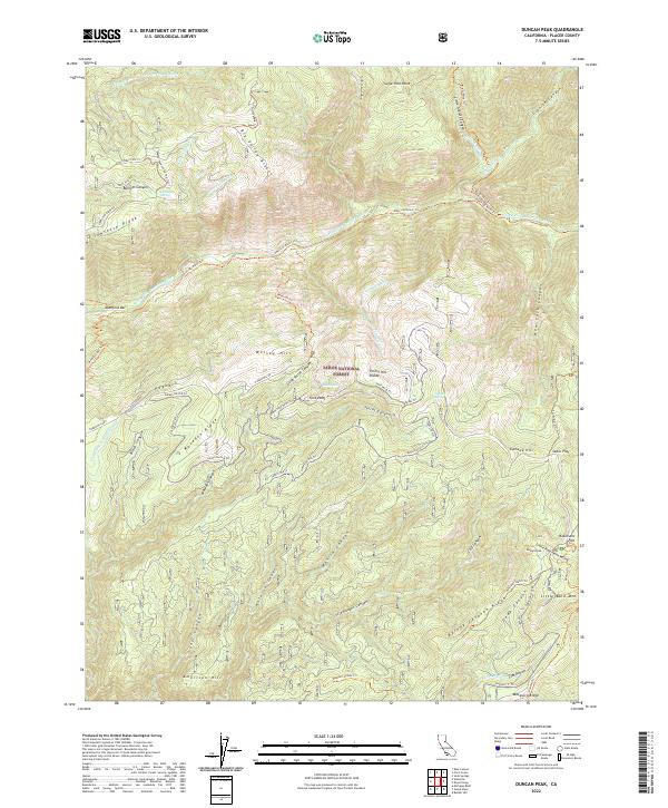
2022 Map of Duncan Peak
USGS Topo · Published 2022About this map
Robinsons Flat and American Hill sit at the center of this high-elevation terrain within the Tahoe National Forest, where the complex drainage systems of the North Fork American River have carved deep canyons like New York Canyon and Antoine Canyon. The landscape is defined by the Forest Hill Divide, a prominent ridge separating major watersheds and serving as a corridor for historical transport. A network of historic water infrastructure, including the China Wall Iowa Hill Ditch and Trap Line Ditch, indicates the significant hydrological engineering required for local industry. Numerous trail systems, such as the Mumford Bar Trl and Western States Trl, connect remote flats and springs like Dawson Spring, tracing the paths of early travelers and miners through the Sawtooth Ridge and Macedon Ridge.
Find a feature on this map
72 named features on this map. Tap any name to fly to it.
Don’t see what you’re looking for? This feature index may not catch every label — zoom into the map to look around manually.
Map Details
Editions of this 2022 Duncan Peak Map
This is the sole edition of this map. No revisions or reprints were ever made.
Other maps of this area

1891 · Colfax
USGS Topo · 1:125,000

1891 · Truckee
USGS Topo · 1:125,000

1892 · Colfax
USGS Topo · 1:125,000

1893 · Truckee
USGS Topo · 1:125,000

1894 · Colfax
USGS Topo · 1:125,000

1895 · Truckee
USGS Topo · 1:125,000

1898 · Colfax
USGS Topo · 1:125,000

1900 · Colfax
USGS Topo · 1:125,000

1902 · Colfax
USGS Topo · 1:125,000

1932 · Truckee
USGS Topo · 1:96,000