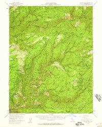
1952 Map of Duncan Peak
USGS Topo · Published 1958About this map
Michigan Bluff stands as a primary focal point in this 1950s survey of the Gold Country high ground between the North Fork and Middle Fork American Rivers. The map documents a landscape heavily shaped by hydraulic and lode mining history, evidenced by the extensive Big Gun Diggings and a dense network of tunnels and shafts like the Golden River Tunnel and Pacific Slab Mine. Many once-active settlements are recorded as mere locations, including Deadwood (Site), Forks House (Site), and Star Town (Site), illustrating the shifting population of Placer County after the initial gold rush. Forest management infrastructure is prominent across the Tahoe National Forest, with high-elevation watchpoints at the Duncan Pk Lookout and the Greek Store Guard Sta overlooking deep canyons like Secret Canyon and Blue Canyon.
Find a feature on this map
136 named features on this map. Tap any name to fly to it.
Don’t see what you’re looking for? This feature index may not catch every label — zoom into the map to look around manually.
Map Details
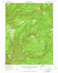
Editions of this 1952 Duncan Peak Map
2 editions found
Other maps of this area

1889 · Pyramid Peak
USGS Topo · 1:125,000

1891 · Colfax
USGS Topo · 1:125,000

1891 · Truckee
USGS Topo · 1:125,000

1891 · Placerville
USGS Topo · 1:125,000

1891 · Pyramid Peak
USGS Topo · 1:125,000

1892 · Placerville
USGS Topo · 1:125,000

1892 · Colfax
USGS Topo · 1:125,000

1893 · Placerville
USGS Topo · 1:125,000

1893 · Truckee
USGS Topo · 1:125,000

1894 · Colfax
USGS Topo · 1:125,000