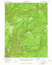
1952 Map of Duncan Peak
USGS Topo · Published 1965About this map
Michigan Bluff and the surrounding gold-country ridges of Tahoe National Forest define this mid-century look at California's high Sierra. The landscape is a network of historic extraction sites, tracing the path of 19th-century hydraulic and hard-rock mining along the North Fork American River. Notable locations include the Last Chance Cem and the former settlement at Damascus, illustrating the era's transition from boomtowns to remote forest outposts.
Find a feature on this map
173 named features on this map. Tap any name to fly to it.
Don’t see what you’re looking for? This feature index may not catch every label — zoom into the map to look around manually.
Map Details
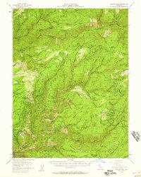
Editions of this 1952 Duncan Peak Map
2 editions found
Other maps of this area

1889 · Pyramid Peak
USGS Topo · 1:125,000

1891 · Colfax
USGS Topo · 1:125,000

1891 · Truckee
USGS Topo · 1:125,000

1891 · Placerville
USGS Topo · 1:125,000

1891 · Pyramid Peak
USGS Topo · 1:125,000

1892 · Placerville
USGS Topo · 1:125,000

1892 · Colfax
USGS Topo · 1:125,000

1893 · Placerville
USGS Topo · 1:125,000

1893 · Truckee
USGS Topo · 1:125,000

1894 · Colfax
USGS Topo · 1:125,000