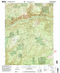
2000 Map of Duncan Peak
USGS Topo · Published 2003About this map
Tahoe National Forest encompasses the deep canyons and high ridges of this Placer County landscape, defined by the drainage of the North Fork American River. The terrain is marked by a legacy of subsurface exploration, with numerous portals such as the Golden Fleece Tunnel, Union Tunnel, and Macedon Tunnel cut into the steep slopes. High points like Duncan Peak and Sugar Pine Point are capped with lookouts, serving as critical vantage points for forest management.
Find a feature on this map
64 named features on this map. Tap any name to fly to it.
Don’t see what you’re looking for? This feature index may not catch every label — zoom into the map to look around manually.
Map Details
Editions of this 2000 Duncan Peak Map
This is the sole edition of this map. No revisions or reprints were ever made.
Other maps of this area

1891 · Colfax
USGS Topo · 1:125,000

1891 · Truckee
USGS Topo · 1:125,000

1892 · Colfax
USGS Topo · 1:125,000

1893 · Truckee
USGS Topo · 1:125,000

1894 · Colfax
USGS Topo · 1:125,000

1895 · Truckee
USGS Topo · 1:125,000

1898 · Colfax
USGS Topo · 1:125,000

1900 · Colfax
USGS Topo · 1:125,000

1902 · Colfax
USGS Topo · 1:125,000

1932 · Truckee
USGS Topo · 1:96,000