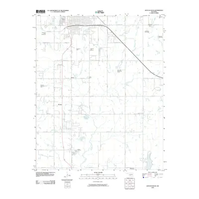
2009 Map of Duncan South
USGS Topo · Published 2009About this map
The south side of Duncan and its sprawling periphery are defined by a complex network of waterways and early 21st-century infrastructure. Halliburton Field occupies a central position near the Liberty settlement, highlighting the aviation and industrial ties of the region. The landscape is carved by several prominent streams, including Cow Creek, Willow Creek, and Clardy Creek, which are managed by numerous flood control structures such as the Cow Creek Site Number 14 Dam. These water management features reflect the agricultural and civil engineering priorities of the era.
Find a feature on this map
37 named features on this map. Tap any name to fly to it.
Don’t see what you’re looking for? This feature index may not catch every label — zoom into the map to look around manually.
Map Details
Editions of this 2009 Duncan South Map
This is the sole edition of this map. No revisions or reprints were ever made.
Other maps of this area

1901 · Addington
USGS Topo · 1:125,000

1902 · Rush Springs
USGS Topo · 1:125,000

1949 · Nellie
USGS Topo · 1:62,500

1950 · Marlow
USGS Topo · 1:62,500

1951 · Marlow
USGS Topo · 1:62,500

1955 · Lawton
USGS Topo · 1:250,000

1956 · Nellie
USGS Topo · 1:24,000

1956 · Nellie
USGS Topo · 1:62,500

1957 · Ardmore
USGS Topo · 1:250,000

1962 · Temple
USGS Topo · 1:62,500