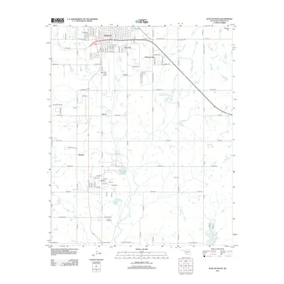
2012 Map of Duncan South
USGS Topo · Published 2012About this map
Duncan serves as the focal point for this 2012 study, which documents the southward expansion of the city into Stephens County. The landscape is a mix of dense residential grids near Dixie Park and the developing outskirts of Oklahoma Hills. Significant infrastructure, including the Halliburton Field Airport, highlights the region's mid-century industrial and aviation roots.
Find a feature on this map
51 named features on this map. Tap any name to fly to it.
Don’t see what you’re looking for? This feature index may not catch every label — zoom into the map to look around manually.
Map Details
Editions of this 2012 Duncan South Map
This is the sole edition of this map. No revisions or reprints were ever made.
Other maps of this area

1901 · Addington
USGS Topo · 1:125,000

1902 · Rush Springs
USGS Topo · 1:125,000

1949 · Nellie
USGS Topo · 1:62,500

1950 · Marlow
USGS Topo · 1:62,500

1951 · Marlow
USGS Topo · 1:62,500

1955 · Lawton
USGS Topo · 1:250,000

1956 · Nellie
USGS Topo · 1:24,000

1956 · Nellie
USGS Topo · 1:62,500

1957 · Ardmore
USGS Topo · 1:250,000

1962 · Temple
USGS Topo · 1:62,500