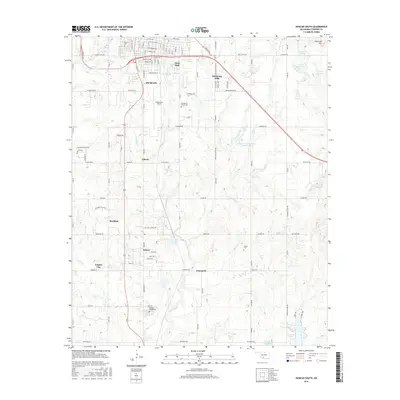
2016 Map of Duncan South
USGS Topo · Published 2016About this map
The southern outskirts of Duncan are revealed in this 2016 topographic study, showing a transition from the urban street grid into the rolling terrain of Oklahoma Hills. This area in Stephens County is marked by several historical burial grounds, including Fairlawn Cemeteries to the south and the Henderson - Harris Cem near the center of the sheet. The landscape is defined by the drainage systems of Claridy Cr and Willow Cr, which feed into various man-made reservoirs like Comanche Lake and the Cow Creek Site 15 Reservoir. The map illustrates a network of smaller communities and neighborhoods such as Dixie Park, Liberty, and Sunray, all connected by the local road system and the Duncan Byp. Aviation history is present at Halliburton Field, while the southern reaches of the quadrangle encompass parts of Empire City and the northern edge of Comanche.
Find a feature on this map
104 named features on this map. Tap any name to fly to it.
Don’t see what you’re looking for? This feature index may not catch every label — zoom into the map to look around manually.
Map Details
Editions of this 2016 Duncan South Map
This is the sole edition of this map. No revisions or reprints were ever made.
Other maps of this area

1901 · Addington
USGS Topo · 1:125,000

1902 · Rush Springs
USGS Topo · 1:125,000

1949 · Nellie
USGS Topo · 1:62,500

1950 · Marlow
USGS Topo · 1:62,500

1951 · Marlow
USGS Topo · 1:62,500

1955 · Lawton
USGS Topo · 1:250,000

1956 · Nellie
USGS Topo · 1:24,000

1956 · Nellie
USGS Topo · 1:62,500

1957 · Ardmore
USGS Topo · 1:250,000

1962 · Temple
USGS Topo · 1:62,500