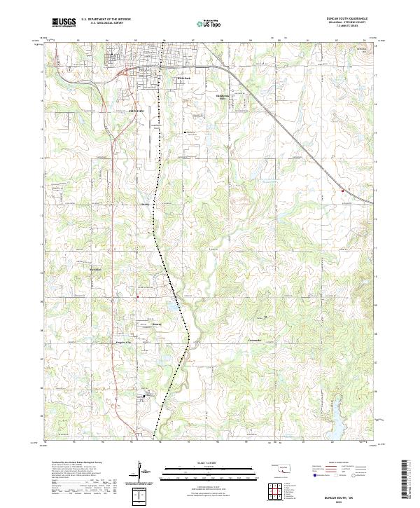
2022 Map of Duncan South
USGS Topo · Published 2022About this map
Duncan and its southern outskirts in Stephens County appear here during a period of modern expansion, where residential neighborhoods like Dixie Park and Oklahoma Hills transition into the industrial and agricultural landscape. The prominence of Halliburton Field reflects the area's deep-rooted connection to the energy sector, while the layout of smaller communities such as Empire City, Sunray, and Comanche reveals the historical settlement patterns of the Oklahoma plains.
Find a feature on this map
66 named features on this map. Tap any name to fly to it.
Don’t see what you’re looking for? This feature index may not catch every label — zoom into the map to look around manually.
Map Details
Editions of this 2022 Duncan South Map
This is the sole edition of this map. No revisions or reprints were ever made.
Other maps of this area

1901 · Addington
USGS Topo · 1:125,000

1902 · Rush Springs
USGS Topo · 1:125,000

1949 · Nellie
USGS Topo · 1:62,500

1950 · Marlow
USGS Topo · 1:62,500

1951 · Marlow
USGS Topo · 1:62,500

1955 · Lawton
USGS Topo · 1:250,000

1956 · Nellie
USGS Topo · 1:24,000

1956 · Nellie
USGS Topo · 1:62,500

1957 · Ardmore
USGS Topo · 1:250,000

1962 · Temple
USGS Topo · 1:62,500