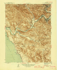
1945 Map of Duncans Mills
USGS Topo · Published 1945About this map
The Russian River winds through the hills of Sonoma County toward its outlet at Jenner, defining the economic and social life of this coastal region during the mid-1940s. Centered on the settlement of Duncans Mills, the landscape reveals a transition from the inland resort communities like Guerneville and Monte Rio to the rural ranchlands of the Bodega region. Educational needs for these isolated communities were met by the Ocean View Sch and Ocean District Sch, while agricultural operations like the Big Buckhorn Ranch and Little Buckhorn Ranch relied on windmills for power.
Find a feature on this map
54 named features on this map. Tap any name to fly to it.
Don’t see what you’re looking for? This feature index may not catch every label — zoom into the map to look around manually.
Map Details
Editions of this 1945 Duncans Mills Map
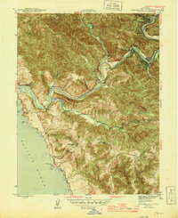
2 editions found
Other maps of this area

1920 · Healdsburg
USGS Topo · 1:62,500

1921 · Skaggs
USGS Topo · 1:62,500

1933 · Healdsburg
USGS Topo · 1:48,000

1935 · Sebastopol
USGS Topo · 1:48,000

1940 · Healdsburg
USGS Topo · 1:62,500

1942 · Sebastopol
USGS Topo · 1:62,500

1942 · Bodega Head
USGS Topo · 1:24,000

1942 · Arched Rock
USGS Topo · 1:24,000

1943 · Cazadero
USGS Topo · 1:24,000

1943 · Duncans Mills
USGS Topo · 1:24,000