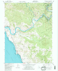
1979 Map of Duncans Mills
USGS Topo · Published 1983About this map
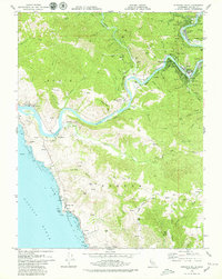
The Russian River snakes through the Redwood Empire toward the Pacific Ocean in this late 1970s record of Sonoma County. The map details a landscape defined by the transition from coastal bluffs at Duncans Point and Portuguese Beach to the dense, canyon-cut forests of the interior. Riverside communities such as Duncans Mills, Monte Rio, and Villa Grande appear alongside mid-century vacation developments like Vacation Beach and Guernewood Park. Local genealogy and land-use researchers can identify several small landmarks, including a Schoolhouse near the southern coast, the St Joseph Camp church, and an old Cem near Bridgehaven. The terrain is marked by significant elevations like Mt Heller and Neeley Hill, while industrial traces appear as a Gravel Pit and Borrow Pit, reflecting the area's development along the Moscow Road corridor.
Find a feature on this map
77 named features on this map. Tap any name to fly to it.
Don’t see what you’re looking for? This feature index may not catch every label — zoom into the map to look around manually.
Map Details
Editions of this 1979 Duncans Mills Map
2 editions found
Other maps of this area

1920 · Healdsburg
USGS Topo · 1:62,500

1921 · Skaggs
USGS Topo · 1:62,500

1933 · Healdsburg
USGS Topo · 1:48,000

1935 · Sebastopol
USGS Topo · 1:48,000

1940 · Healdsburg
USGS Topo · 1:62,500

1942 · Sebastopol
USGS Topo · 1:62,500

1942 · Bodega Head
USGS Topo · 1:24,000

1942 · Arched Rock
USGS Topo · 1:24,000

1943 · Cazadero
USGS Topo · 1:24,000

1943 · Duncans Mills
USGS Topo · 1:24,000