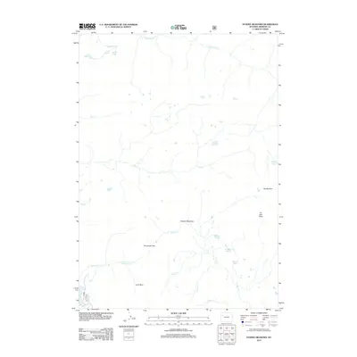
2012 Map of Dundee Meadows
USGS Topo · Published 2012About this map
Dundee Meadows and the high drainage basins of Fremont County characterize this part of the Continental Divide as documented by the U.S. Geological Survey in 2012. This interior landscape is defined by its glacial hydrology, where water flows from alpine sources like Golden Lake and Mystery Lake into the branching headwaters of the S Buffalo Fork and W Du Noir Cr. The map details the complex natural corridors used for navigation through the mountains, notably Bonneville Pass and Bowles Pass. These high-altitude crossings and the dramatic relief of Du Noir Butte and Jules Bowl provide a clear view of the high-country geography before modern recreational development altered these traditional paths.
Find a feature on this map
21 named features on this map. Tap any name to fly to it.
Don’t see what you’re looking for? This feature index may not catch every label — zoom into the map to look around manually.
Map Details
Editions of this 2012 Dundee Meadows Map
This is the sole edition of this map. No revisions or reprints were ever made.
Other maps of this area

1902 · Mt Leidy
USGS Topo · 1:125,000

1905 · Younts Peak
USGS Topo · 1:125,000

1907 · Younts Peak
USGS Topo · 1:125,000

1955 · Driggs
USGS Topo · 1:250,000

1955 · Thermopolis
USGS Topo · 1:250,000

1956 · Esmond Park
USGS Topo · 1:24,000

1956 · Shoshone Pass
USGS Topo · 1:24,000

1956 · Kisinger Lakes
USGS Topo · 1:24,000
1956 · Dundee Meadows
USGS Topo · 1:24,000

1958 · Driggs
USGS Topo · 1:250,000