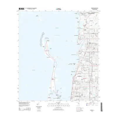
2015 Map of Dunedin
USGS Topo · Published 2015About this map
Dunedin and the surrounding Pinellas County coastline are shown in high detail at a time of established suburban growth and preserved coastal islands. This 2015 study traces the intricate geography of the Intracoastal Waterway and the barrier islands that shield Saint Joseph Sound, including Honeymoon Island and Caladesi Island, which are separated by Hurricane Pass. The mainland transition from Clearwater north through Dunedin Isles, Ozona, and Palm Harbor reveals a densely developed corridor where residential networks meet historic springs and bayous.
Find a feature on this map
207 named features on this map. Tap any name to fly to it.
Don’t see what you’re looking for? This feature index may not catch every label — zoom into the map to look around manually.
Map Details
Editions of this 2015 Dunedin Map
This is the sole edition of this map. No revisions or reprints were ever made.
Other maps of this area

1921 · Sand Key
USGS Topo · 1:62,500

1921 · St Petersburg
USGS Topo · 1:62,500

1943 · Safety Harbor
USGS Topo · 1:31,680

1943 · Dunedin
USGS Topo · 1:31,680

1943 · Tarpon Springs
USGS Topo · 1:31,680

1943 · Clearwater
USGS Topo · 1:24,000

1943 · Elfers
USGS Topo · 1:24,000

1943 · Oldsmar
USGS Topo · 1:24,000

1944 · Elfers
USGS Topo · 1:31,680

1944 · Oldsmar
USGS Topo · 1:31,680