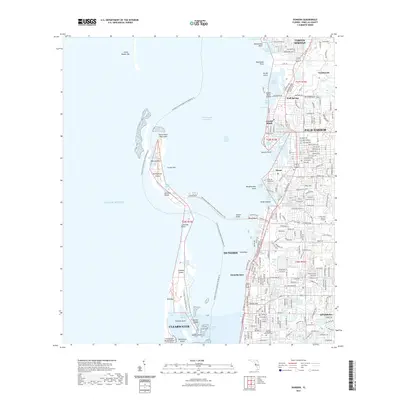
2021 Map of Dunedin
USGS Topo · Published 2021About this map
Dunedin and Palm Harbor define this coastal corridor along the Intracostal Waterway and Saint Joseph Sound. The landscape is a dense network of residential growth and natural barrier islands, including the prominent Honeymoon Island and Caladesi Island, which are separated by Hurricane Pass. To the north, the map includes the southern reach of Tarpon Springs and the planned communities of Innisbrook. The transition from the mainland to the Gulf of Mexico is marked by a series of keys and bars, such as Three Rooker Bar and Bird Key. Local history is anchored by sites like Dunedin Cem and the Curlew Hills Memory Gardens, while the region's recreational character is highlighted by the Florida Circumnavigational Paddling Trl and the Honeymoon Island-To-Pinellas Trail Connector Trl.
Find a feature on this map
66 named features on this map. Tap any name to fly to it.
Don’t see what you’re looking for? This feature index may not catch every label — zoom into the map to look around manually.
Map Details
Editions of this 2021 Dunedin Map
This is the sole edition of this map. No revisions or reprints were ever made.
Other maps of this area

1921 · Sand Key
USGS Topo · 1:62,500

1921 · St Petersburg
USGS Topo · 1:62,500

1943 · Safety Harbor
USGS Topo · 1:31,680

1943 · Dunedin
USGS Topo · 1:31,680

1943 · Tarpon Springs
USGS Topo · 1:31,680

1943 · Clearwater
USGS Topo · 1:24,000

1943 · Elfers
USGS Topo · 1:24,000

1943 · Oldsmar
USGS Topo · 1:24,000

1944 · Elfers
USGS Topo · 1:31,680

1944 · Oldsmar
USGS Topo · 1:31,680