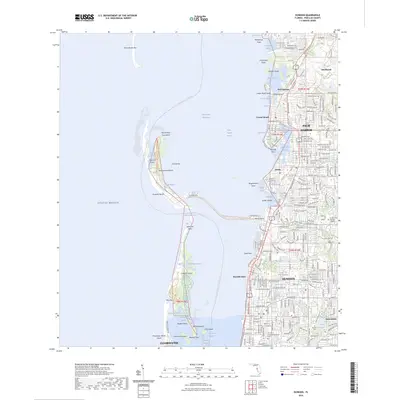
2024 Map of Dunedin
USGS Topo · Published 2024About this map
Dunedin and the surrounding Pinellas County coastline are defined by a complex network of barrier islands and intracoastal waterways. This modern survey captures the developed waterfronts of Palm Harbor, Ozona, and Crystal Beach, showing the extensive residential canal systems and bridges that connect the mainland to its coastal keys. The map preserves the layout of local landmarks including Dunedin Cemetery and Memory Gardens, providing essential reference points for local history.
Find a feature on this map
71 named features on this map. Tap any name to fly to it.
Don’t see what you’re looking for? This feature index may not catch every label — zoom into the map to look around manually.
Map Details
Editions of this 2024 Dunedin Map
This is the sole edition of this map. No revisions or reprints were ever made.
Other maps of this area

1921 · Sand Key
USGS Topo · 1:62,500

1921 · St Petersburg
USGS Topo · 1:62,500

1943 · Safety Harbor
USGS Topo · 1:31,680

1943 · Dunedin
USGS Topo · 1:31,680

1943 · Tarpon Springs
USGS Topo · 1:31,680

1943 · Clearwater
USGS Topo · 1:24,000

1943 · Elfers
USGS Topo · 1:24,000

1943 · Oldsmar
USGS Topo · 1:24,000

1944 · Elfers
USGS Topo · 1:31,680

1944 · Oldsmar
USGS Topo · 1:31,680